
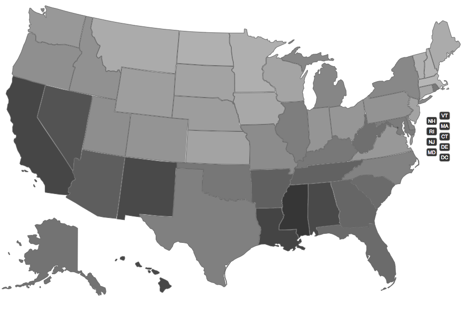
Because I am a partisan jerk, I was curious if it would reflect the political divisions of our nation. Nope, though there is a maybe even more problematic latitude correlation.
The code is JQuery-ish and hacky, but it solved some fun Google/stackoverflow challenges, like "how do I make a colored map of the USA?" (US Map JQuery Plugin) "How do I convert a number from one range to another?" (I was amused that my PHP recreation of Processing's .map() function was actually valid javascript as well) "how do I convert state names to abbreviations? (US states in JSON Gist), "how do I get a hex RGB value from 3 decimal values?" (relevant stackoverflow)
No comments:
Post a Comment